Satellite imagery of the Amazon forest

Journalists’ Guide to Using AI and Satellite Imagery for Storytelling

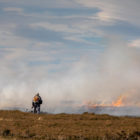
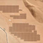
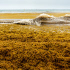
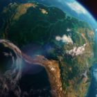
Satellite imagery provides information that can enhance the ability to write compelling narratives about the state of our planet, cutting across multiple beats. But such a tool tends to be complex and out of the reach for many journalists, so this guide offers a process that reporters interested in covering the climate crisis can use for story projects.

How to Expose Lies from the Skies Using Satellites and Drones

In a GIJC21 session on using maps and satellite imagery for investigations, three experts explained their approaches to analyzing satellite and drone images, and using open source tools. One of the innovative techniques described led to a Pulitzer Prize this year — for exposing China’s network of Muslim detention centers — while another exposed government deception about fires in the Amazon, and a third literally put a vulnerable community in Africa on the map.

Resources for Finding and Using Satellite Imagery

Satellite are being used by journalists to report on conflicts, climate change, refugees, forest fires, illegal mining, oil spills, deforestation, slavery and many other topics. GIJN’s resource page provides official sources for free satellite images and links to experts who can advise on finding images, using them, handling technical issues and more.