Deepfake Geography: How AI Can Now Falsify Satellite Images

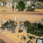
With more sophisticated AI technologies emerging, researchers warn that “deepfake geography” could become a growing problem. As a result, a team of researchers that set out to identify new ways of detecting fake satellite photos warn of the dangers of falsified geospatial data and call for a system of geographic fact-checking.

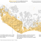
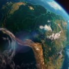
Satellite imagery of the Amazon forest

Journalists’ Guide to Using AI and Satellite Imagery for Storytelling

Satellite imagery provides information that can enhance the ability to write compelling narratives about the state of our planet, cutting across multiple beats. But such a tool tends to be complex and out of the reach for many journalists, so this guide offers a process that reporters interested in covering the climate crisis can use for story projects.

Surveillance camera warning

Top 5 Surveillance Investigations of 2021

Investigative journalists went all out last year in covering surveillance issues. From a deep-dive into the dark side of pandemic tech in Singapore’s techno-utopia to an in-depth look at how schools are spending thousands on unreliable “aggression detectors” in the name of student safety, global reporters have been holding Big Tech accountable for its role in fueling authoritarianism worldwide. 

Data Journalism Top 10: Thanksgiving Dangers, Vaccine Tracker, Crosswords Diversity, Golf Swings, Facebook Fact-checks

Around the world, people are toning down their celebrations in a bid to mitigate spread of the coronavirus. The latest casualty: Thanksgiving. Our NodeXL #ddj mapping from November 16 to 22 found FiveThirtyEight’s timely piece explaining the risk of COVID-19 transmission from even small Thanksgiving dinner gatherings. Also popular: The New York Times tracking the status of all vaccine trials in progress, and The Pudding analysis of race and gender in crossword puzzles from five major US news publications.