Deepfake Geography: How AI Can Now Falsify Satellite Images

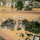
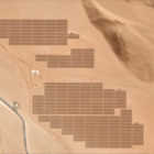
With more sophisticated AI technologies emerging, researchers warn that “deepfake geography” could become a growing problem. As a result, a team of researchers that set out to identify new ways of detecting fake satellite photos warn of the dangers of falsified geospatial data and call for a system of geographic fact-checking.

Data Journalism Top 10: Connecting China’s Power Players, Tracking Russian Voter Turnout, Drawing the India-Pakistan Border, and Serena Williams’ Trailblazing Career

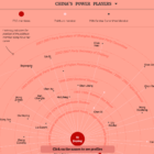
The workings of the Chinese Communist Party are shrouded in secrecy, but ahead of the party congress later this year The South China Morning Post published a detailed guide on the key power players. Also this week, an investigation into the arbitrary nature of military justice in the United States, an analysis of Russia’s election voter turnout using artificial intelligence, and charts celebrating Serena Williams’ tennis career.

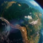
Satellite imagery of the Amazon forest

Journalists’ Guide to Using AI and Satellite Imagery for Storytelling

Satellite imagery provides information that can enhance the ability to write compelling narratives about the state of our planet, cutting across multiple beats. But such a tool tends to be complex and out of the reach for many journalists, so this guide offers a process that reporters interested in covering the climate crisis can use for story projects.

पत्रकारिता की नई ताक़त है आर्टिफिशियल इंटेलिजेंस (AI) लेकिन दायित्व भी कम नहीं

प्रत्येक एआई टूल को हरेक मीडिया संस्थान की खास जरूरत के अनुसार सेट करना होगा। किसी मशीन को आपकी पत्रकारिता के  मूल्यों और दृष्टिकोण की जानकारी नहीं है। कोई मशीन यह तय नहीं कर सकती कि आपके लिए कौन-से मूल्य महत्वपूर्ण हैं। यह एक मानवीय निर्णय है।